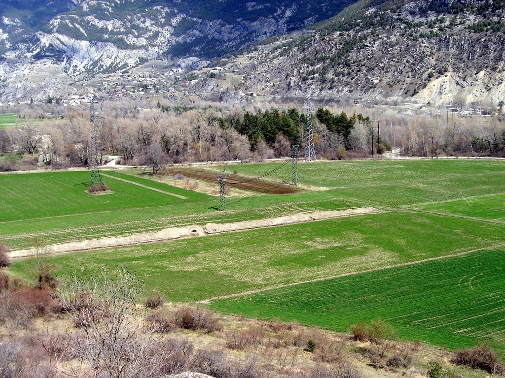
Location Map
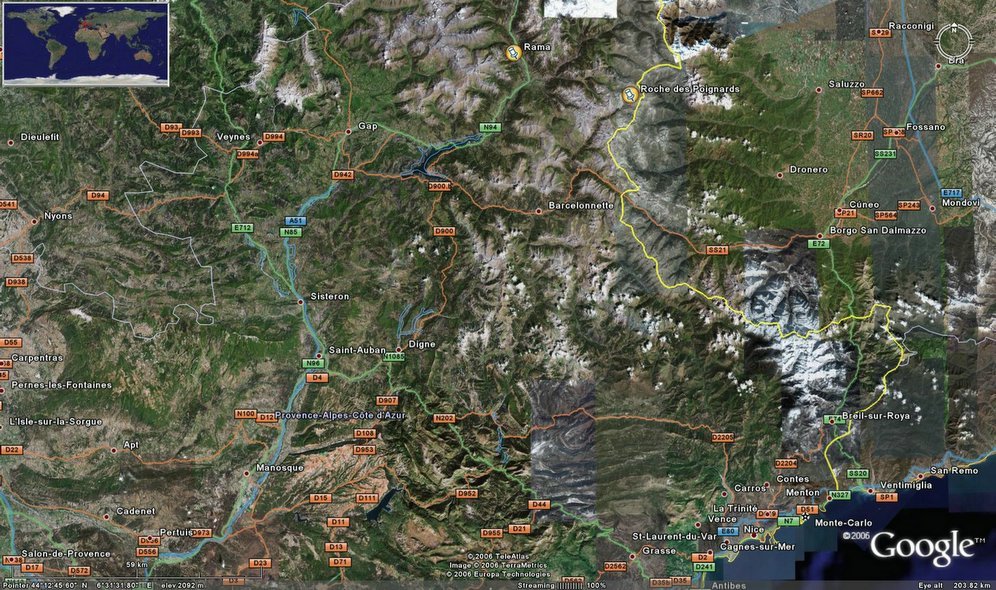 Rama is located towards the top centre of this map.
posted by Kevin Walsh at 9:52 am
0 comments
![]()
![]()
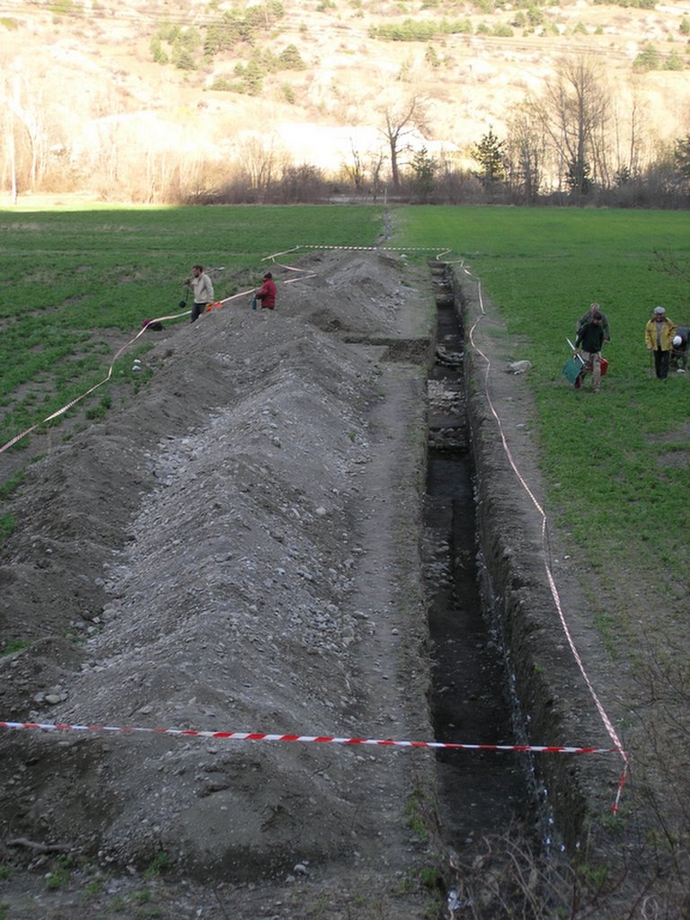
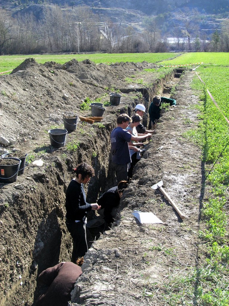
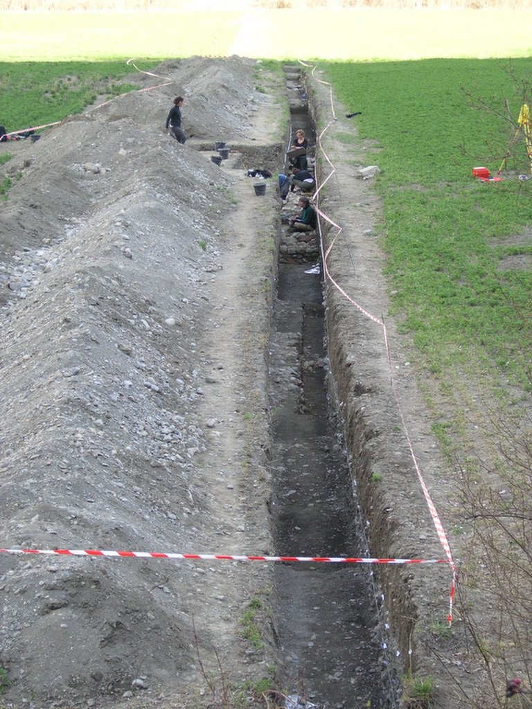
A 200m long trial excavation of a major Roman site adjacent to the Durance River in the Ecrins (Southern French Alps). The aim of this trial trench was to assess the results from air-photographic and geophysical survey data. This excavation thus allows us to place the archaeological site in its landscape context and consider its relationship with changes in the local river systems.
Rama is located towards the top centre of this map.
posted by Kevin Walsh at 9:52 am
0 comments
![]()
![]()
posted by Kevin Walsh at 7:33 am
0 comments
![]()
![]()
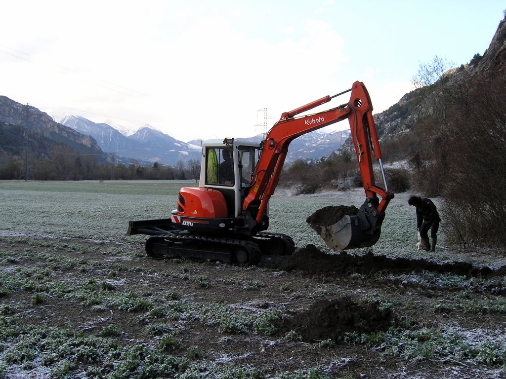
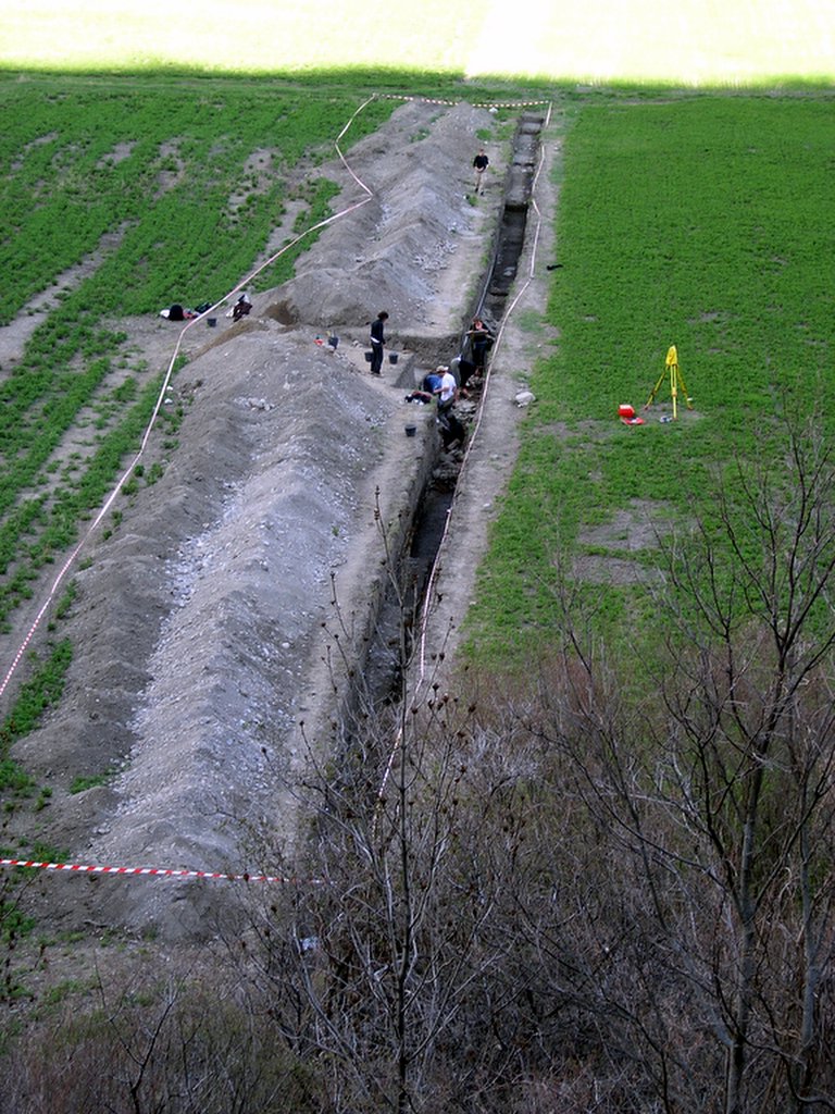
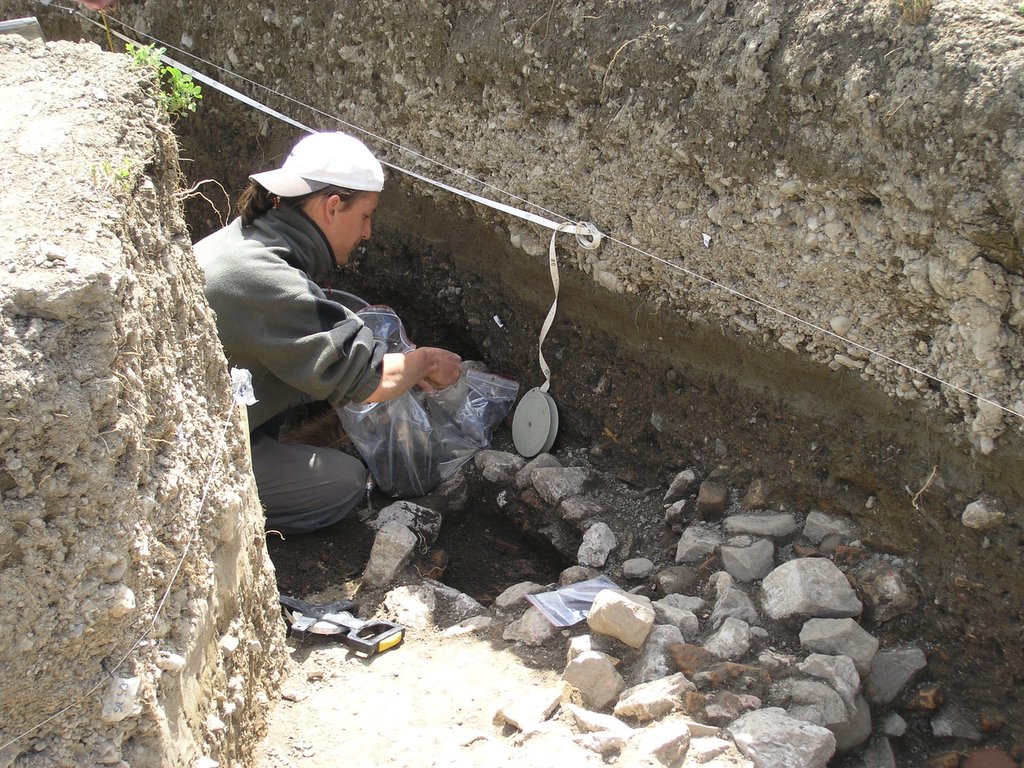
 Cleaning up the section after the mechanical digger has left
posted by Kevin Walsh at 7:30 am
0 comments
![]()
![]()
posted by Kevin Walsh at 7:27 am
0 comments
![]()
![]()

posted by Kevin Walsh at 7:23 am
0 comments
![]()
![]()
posted by Kevin Walsh at 7:19 am
0 comments
![]()
![]()

posted by Kevin Walsh at 7:13 am
0 comments
![]()
![]()
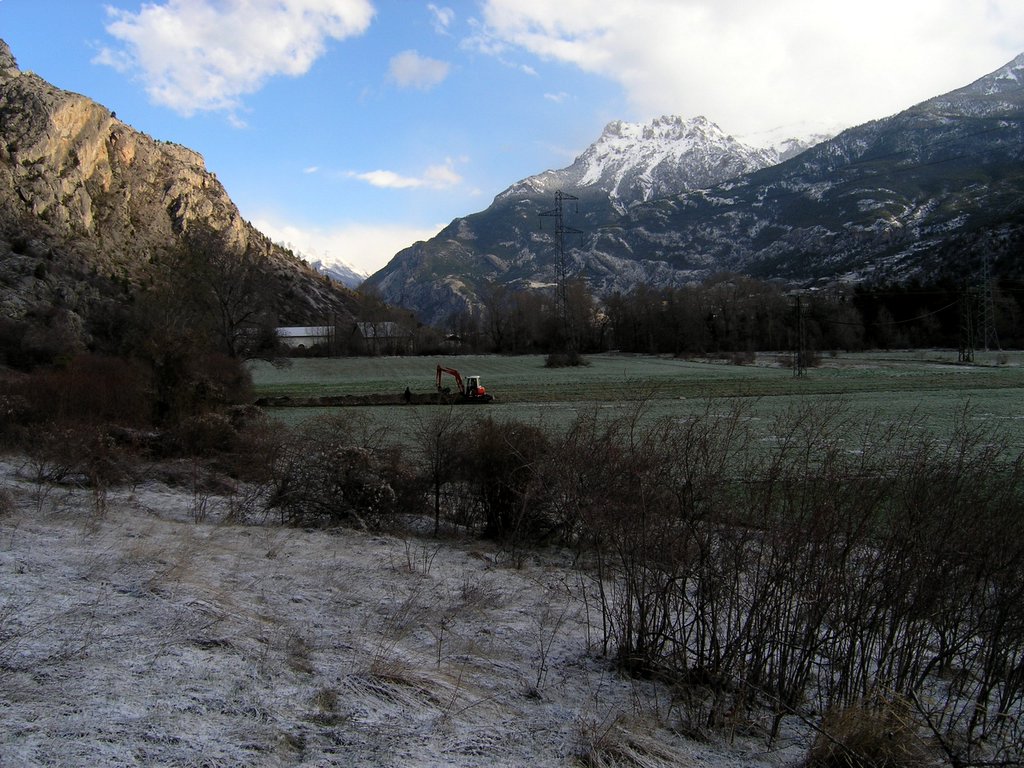
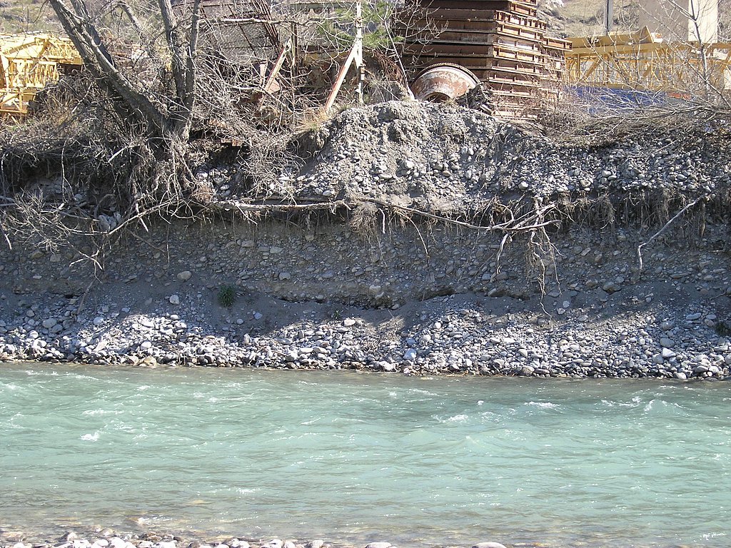
 The flood deposits (coming from an inactive branch of the Byasse river) are towards the bottom end of the trench. The Durance River is some 400m further away from the top edge of the trench.
posted by Kevin Walsh at 7:08 am
0 comments
![]()
![]()
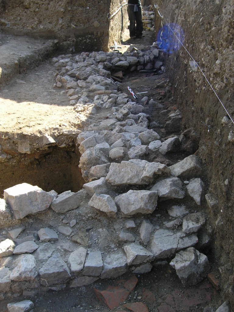
 An overview of the excavation trench - the main archaeological remains occur in the central area.
posted by Kevin Walsh at 7:07 am
0 comments
![]()
![]()
 )
)
posted by Kevin Walsh at 7:05 am
0 comments
![]()
![]()
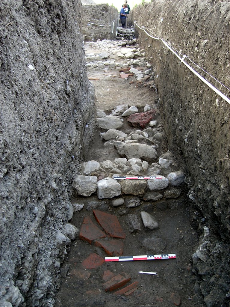
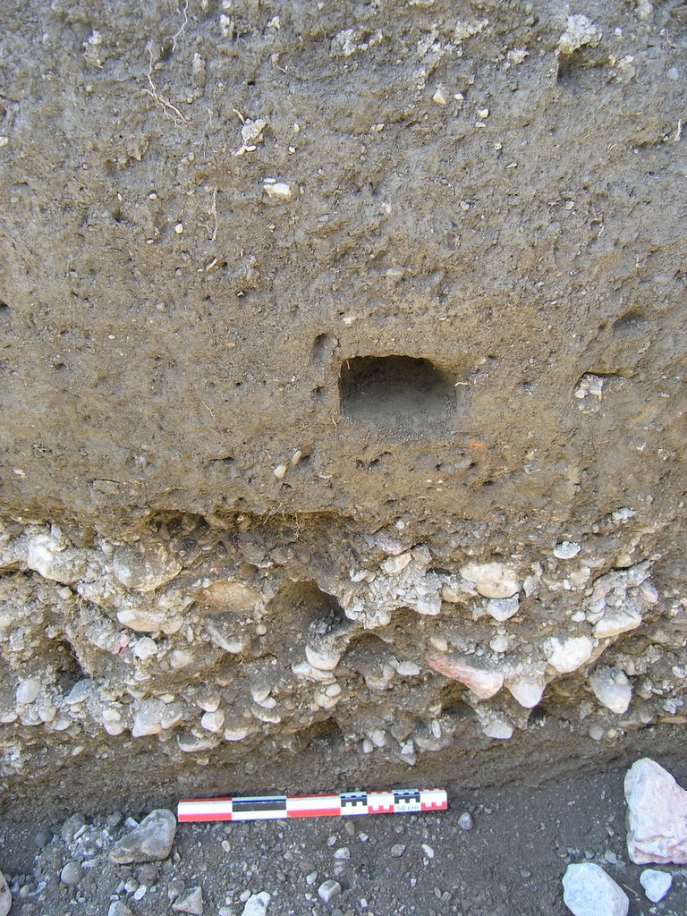
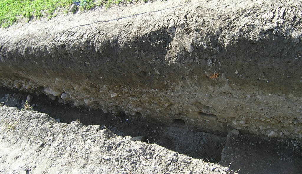 Detail of different river channel and flood deposits: coarse riverbed material down in the bottom, centre-left of the image.
posted by Kevin Walsh at 6:49 am
0 comments
![]()
![]()
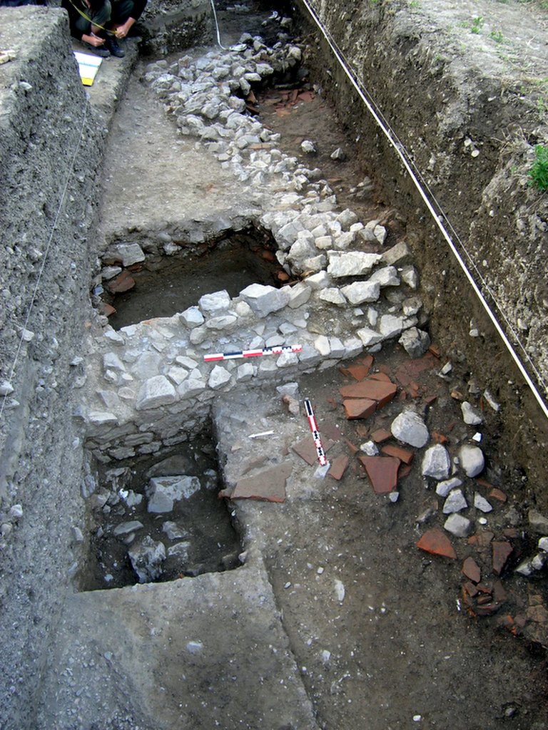
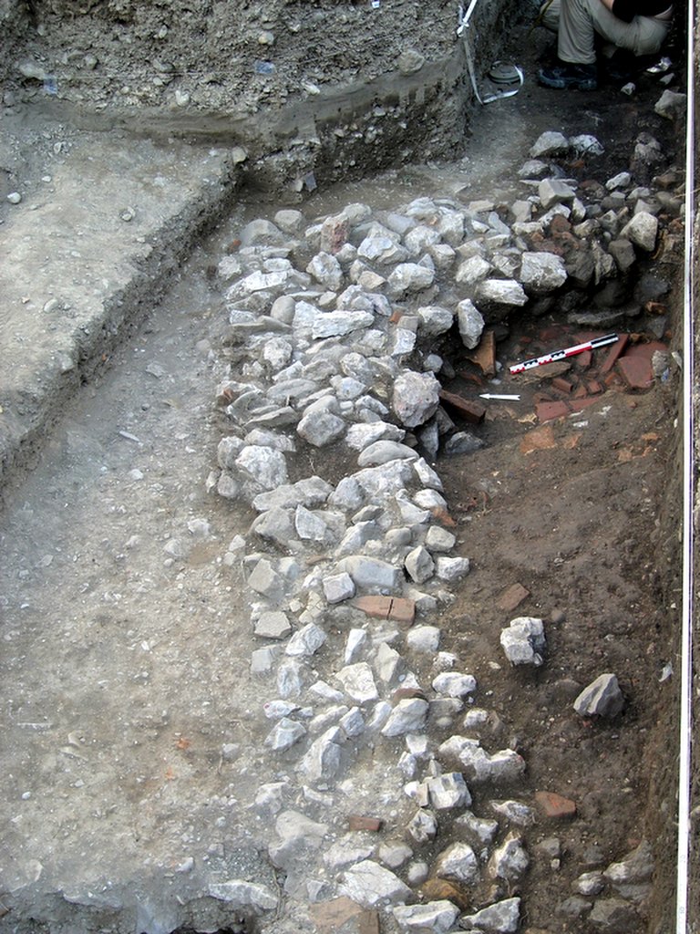
 Detail of a Roman wall where pottery dating to the Late Roman Period was found.
posted by Kevin Walsh at 6:47 am
0 comments
![]()
![]()
posted by Kevin Walsh at 6:40 am
0 comments
![]()
![]()